Victor Harbor Loop
This week's 200km was a trip to Victor Harbor and return. I find this a fascinating ride. At 212 km it's only 11km further than my loop up through Angaston. But where I can do that in well less than 12 hours, start to finish, this ride takes a whisker over 13 hours at best or, this week, 14hrs 18. Is it the hills? Does an extra 675 metres climbing make that much difference? Certainly, the climbs are a lot more concentrated.
It's a fast slope down the Linear Park to the city and then flat out to Darlington on the Marino Rocks Greenway and the Sturt Linear Park. The first climb begins at Darlington, all the way to the top of Major's Hill. This is followed by a fast undulating downhill run almost to Willunga via the Southern Veloway and the Coast to Vine rail trail s, with a gentle grade into the town for the last 2 to 3km.
Climb number two is Willunga Hill, averaging a little over 7%. Until Willunga, 65km from my house, the whole ride is bike path and backstreets.
Lots of Willunga Hill looks deceptively shallow :)
Black Billy Road keeps you off the main Victor Road for another kilometre, and then there is no option but to join the 110kmh racetrack to Mt Compass. It's an undulating downhill 10km to Mt Compass, so fast, but it is a really noisy unpleasant ride.
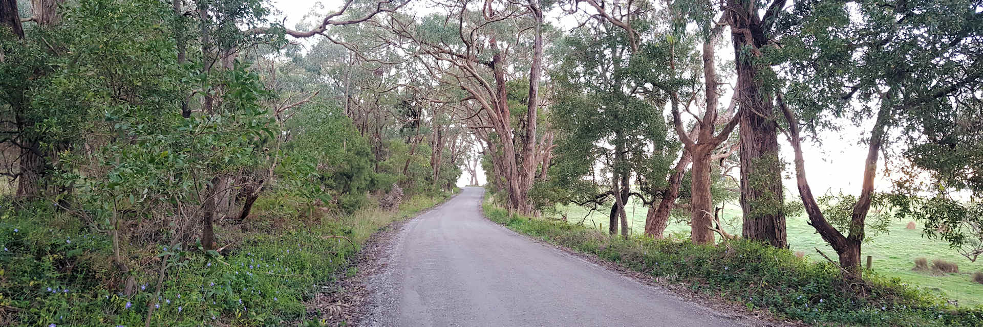
Just past Mt. Compass, I turn right onto Woodcone Road, which at its 12-13% peak, turns into Haskett Road, with another fast undulating descent to ThreeTiers Road, which is the back way from Victor to Aldinga. This route takes a rider out of all the traffic at the expense of about 10km of unsealed road, which has some fierce corrugations. You need to watch for these on the descents!
From Woodcone Road
Three Tiers Road, sealed, is busier than it used to be, but compensates for this with a long high-speed descent around the side of Mt. Billy. I usually turn off to Hutchinson Road and take the back way into Victor Harbor, another significant climb, but quiet, and it takes me past my folks' gravesite.
I take the same route home until I meet the intersection of the Southern Veloway (aka Patrick Yonkers Bikeway) and the Coast to Vines near Hackham. But first, there is the climb back to Willunga. The return climb up to Woodcone Road is a bit steeper; I saw 19% at one point, and the climb up to Black Billy Road on the main road is noxious. I counted 270 cars overtaking me for the 10.1km, which is one car for every 37 metres. The verge is good, and there is at least one long overtaking lane, but there were still around 20 cars who passed me at 110 and less than a metre away. I'm tempted to buy a GoPro and spend time with SAPOL.
Haskett Road before the climb
 Getting serious, now!
From Willunga, I made up time, even though a good deal of the road is a slow grade up to Reynella. My average moving speed went up from 14.7 to16.6, which for an old slow person like me, is fairly significant over 100km. The difference seems to be in the time not moving. The hills just mean taking a few more breaks for food etc.
From Hackham I took the Coast to Vines back to Reynella. This old rail path is much gentler than the direct Veloway route.
So, a good round trip, although I was a lot more weary the next day than if I'd done the Angaston loop.
Stats: 212.5km, 12:39 hours moving at 16.8kmh, Real Average Speed for 14:18hrs: 14.8kmh, Temp: 17-3C

