Rides for Hot Days
There’s a great ride just waiting for me out near Sedan. Quite beautiful, but not what you want to take your good car over, according to my colleague Jill. And also not 200km to take on a high fire danger day with a forecast that's in the 40’s and windy. So, what to do if it’s ride day?
I decided on a day on the bike paths that criss-cross Adelaide. The fire danger is way lower, the traffic is nil, and there is a surprising amount of shade. We live about 3 minutes from the Linear Park, which is itself a 70km loop from beach to foothills along the River Torrens, so I began with the ten kilometres up to the Gorge. We are on what I will call the North Adelaide side of the Torrens, and I took that up to the top end.

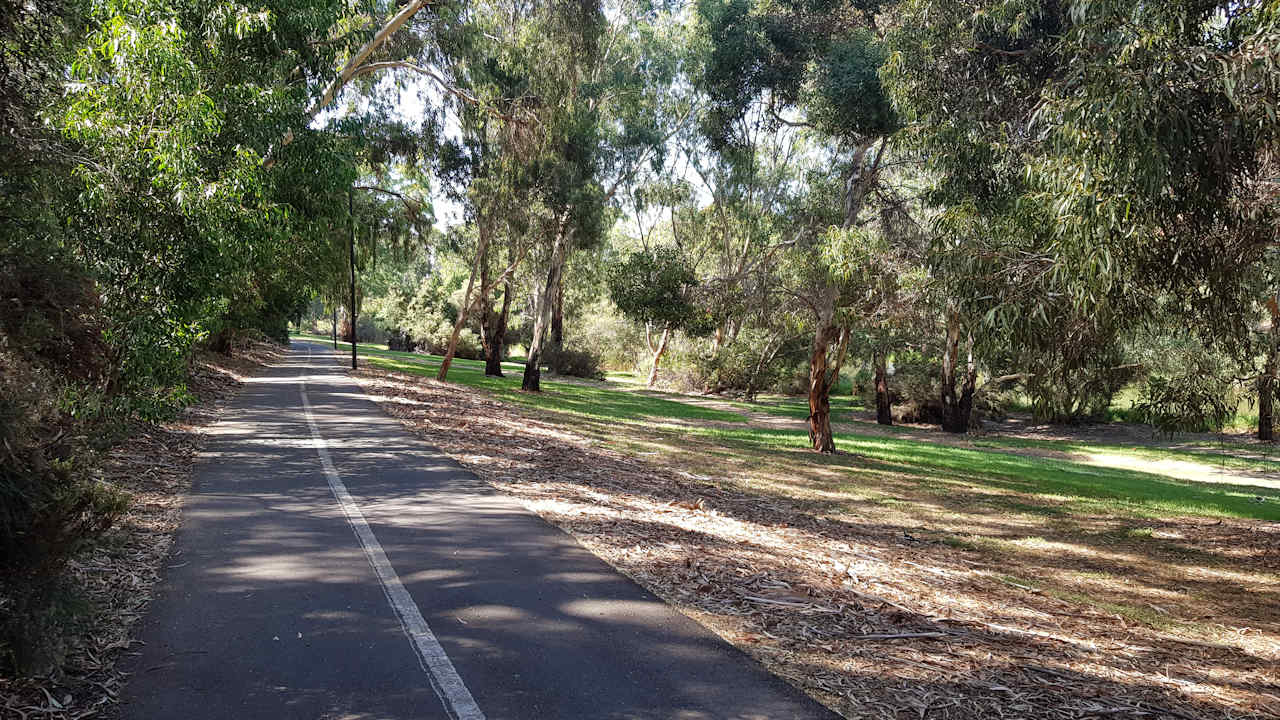
As you can see from the photo, it is often very shady. The two sides of the river upstream from the city have a surprisingly different character. The North Adelaide side is the key commuting route, busy, but largely uninterrupted from the very top down to Walkerville, where you get shifted to the city side of the river until just before Hackney Road, when it crosses to the North Adelaide side again. (You can’t do the whole trip on the city side unless you leave the path and take back streets.) It’s a fast ride, but as the main commuting side, it is also often busy with pedestrians and cyclists, loose dogs, and unpredictable toddlers. It is also the rougher surface, especially further upstream where the cement slabs of the path are pushed up by tree roots. One of these is like riding into a kerb, and contributed to my previous frame breaking when I didn’t see it.
The North Adelaide side has three steep, bottom gear climbs which have some folk walking their bikes, but is mostly quite close to the river itself, and an easy ride. The city side is often much higher above the river, which means it is more undulating, with five or so climbs. It feels a lot faster, the surface is better, there is less traffic—cycle and foot, and more water points and toilets. If you have a GPS it’s worth dialing in the route for the city side, especially if you are planning to ride down at night. Even knowing the route well, I took three wrong turns out to the street because I was thinking about other stuff instead of concentrating on the route! It’s a safe ride to do that.
Consulting the maps early is also good for getting around Lochiel Park where it’s not immediately clear how to stay on the city side. You can get funneled onto the other side. Tip: Look for the arched pedestrian bridge over the OBahn.
 The hills are beautiful to look at, but not a safe place on a very hot day
At the top of the Linear Park it’s possible to portage a bike across to the Gorge Road. Deb and I have done it, but it’s messy and hard work. About 500 metres before the end of the path there is a track and ford across to the Gorge, and this is the way to go. I think the Gorge Road is the best way into the hills for week days. There is very little traffic, although there are some hard climbs up past the Kangaroo Creek Dam until you learn how to just plug along and stop trying to go fast. It all changes on weekends and public holidays because the boy (and girl) racers come out to play, and too many of them drive outside their capabilities.
 The End. You can carry a bike across the creek, but it's hard work! Take the crossing 500 metres back!

I kept my GPS alarm set to ten minutes for water, halved the electrolyte from last week, which worked well, and left the park on the way downstream at the Ninth Avene – Battams Road exit. This is a quiet short cut to the Botanic Park which I often use going into the city. It cuts out the most winding and rough section of the park. At Botanic Park, dodging under the showers for the flying fox colony, I dropped back into the Linear Park, now on the city side. This brings up 30km.
 Not finished yet!
Downstream from the city, things change. The simplest route is to stay city side until Port Road. The other side has bits of path, but it’s tricky past the weir. From Port Road after South Road, the city side path has several breaks that require a lot of mucking around. It’s not worth it. From the Brickworks both sides of the river are accessible, but there is a clear difference. The north side takes you under all the main roads. On the city side you have to navigate across Holbrooks, Findon, and Henley Beach Road. (There is an earth path under Henley Beach Road, and I always miss it!)

I took the city/south side to the beach; until, that is, Tapley’s Hill Road. From there to the beach both sides of the path are closed, have been for months, and don’t look like opening any time soon. The whole area is being re-engineered. On the plus side, the detour is well sign-posted, unusual for bike path closures, and there were even a couple of lollipop people who stopped the traffic for me to cross Tapleys!
 It's been going on for months. You can see the bike path on both sides.
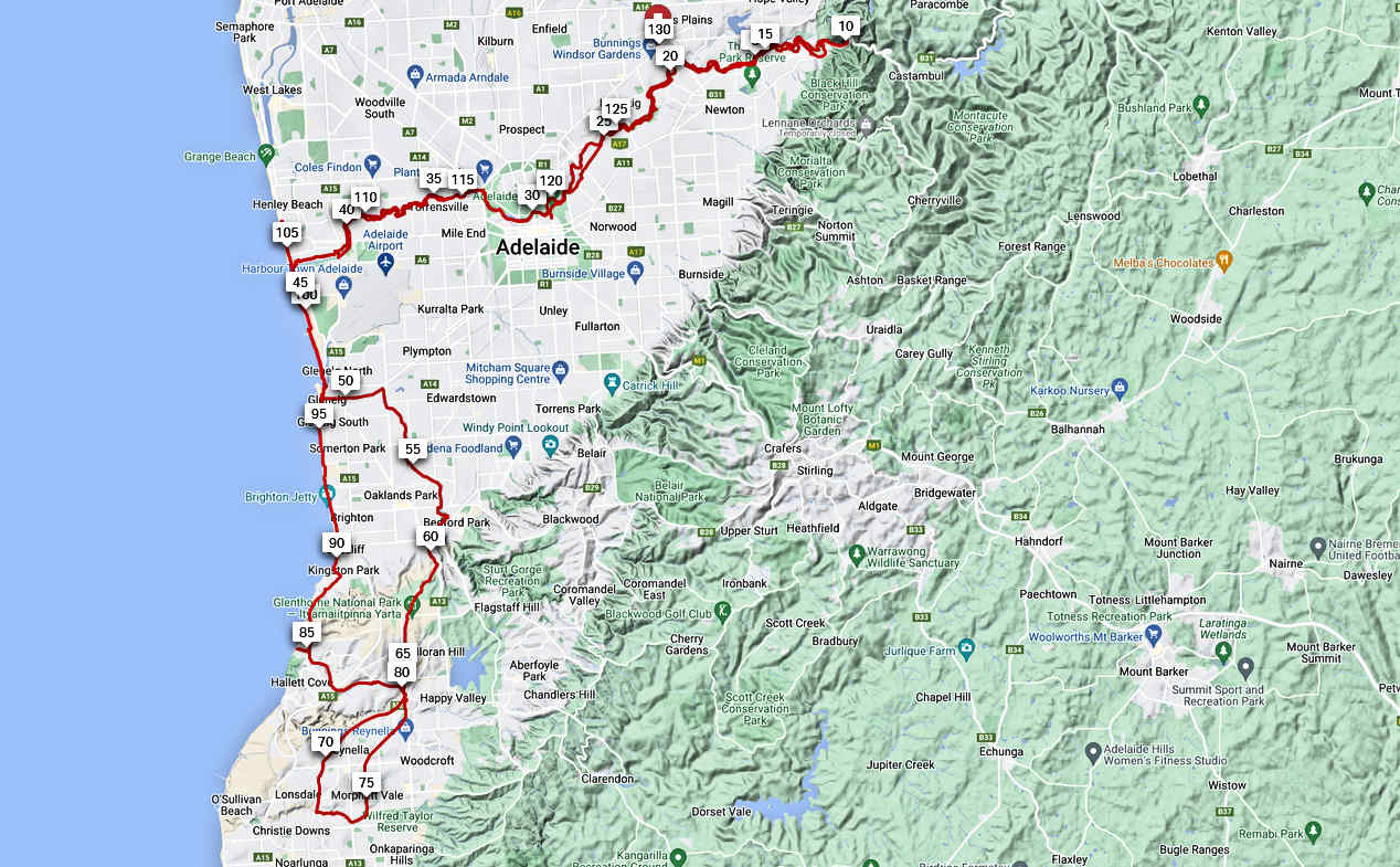
I hit the beach at 44km and took the bike path right into Glenelg where there is a little hole-in-the-wall fish and chip shop who make stellar chips. My first bit of road riding for the day entailed a quick 700 metres down Jetty Road to join the Mike Turtur Bikeway, which took me across to the Sturt Linear Park, aka “the Sturt Drain.” That takes riders right to the base of the Veloway which heads alongside the Southern Expressway. It’s a bit tricky getting neatly across to the Veloway, so I’ve put a shot of the map in, below. I’ve included my trail for the current detour around an ongoing bridge replacement.

The hidden gem on this path is the Kaurna Centre (involving a hundred metre skip across some lawn) which has water and a toilet which I have found open at all hours. Don’t expect to find water on the Veloway.

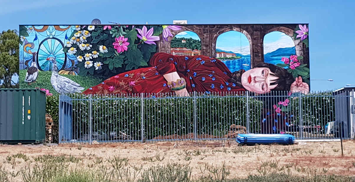
The new Jasmine Crisp mural at the bottom of the Veloway.

No shade here, and the sun on your back!
The temperature had slowly built up to around 39 degrees, and soon popped up to 45 along the Veloway, where you often have the sun on your back and a slight tail breeze which ensures you sit in your own little heat bubble. But it’s only 6.5 – 8%, and from Major’s Hill there is lots of fast down hill. My plan was to go south to Christie Creek, which is about 600 metres south of Bain’s Road. I then headed east on a goat track along the creek until I hit the Sea to Vines trail and headed back north, following this path all the way to Hallet Cove and Brighton. As with much of this route, it will pay to have it dialled into your GPS, (I use RidewithGPS to plot these routes,) or at least be prepared to use Google Maps a fair bit.
From the railway station it’s a fast ride down to the Cove Road, and then about 2.2km to Kingston Park Caravan Park. This puts us back on the coastal bike path. I followed it up past the Torrens to Henley Square, devoured a salted caramel ice cream, and went back to the Torrens to take the Linear Park home. All up: 130km.


(Andrew Prior Feb 2023)
