The Flood Plains
Day Six has been one of the highlights of the trip.
I topped up with water at Wilcannia, and bought enough food for three days, not expecting much at Emmdale. I was also aware I might need to camp overnight between Emmdale and Cobar, given the wind and road conditions so far.
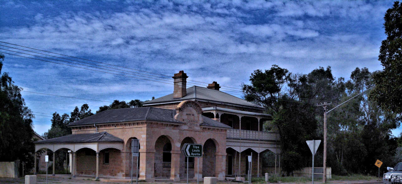
Across the street everything is secured behind bars and mesh, but the church is open and glorious. Wilcannia at its peak was the second busiest port in Australia!

The Darling is flowing an “almost banker.” Apparently the flood peak will not be for another week or two, and widespread flooding is expected.
The old bridge had a central span which could be raised to allow paddle steamers through. This photo is looking south through the old bridge.
The enormity of our country’s weather is apparent from the Darling Flood plain. It extends 6 kilometres out to the east. When I climbed the sand ridge at its end, I found I was then on the Talywalka Creek flood plain. This extended a further 7 kilometres. Whereas the Darling Flood plain was dry, The Talywalka flood plain is water logged.

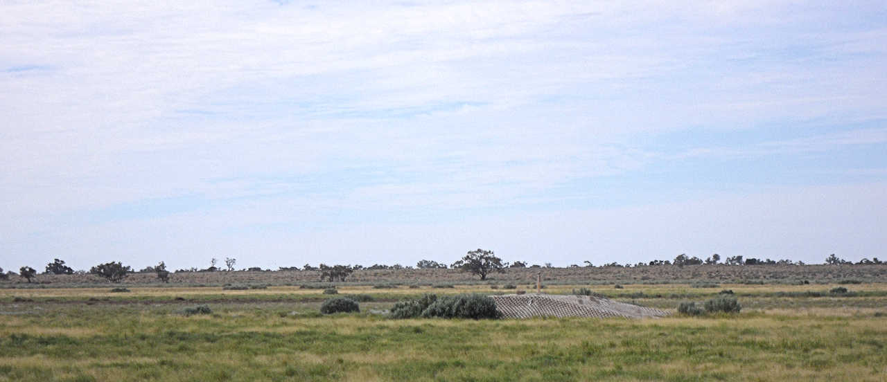
Every so often along the highway there are discreet signs to the Telstra cable inspection points out off the road. On the flood plains these are built up into 12 foot high bunkers. Several of them are isolated by hundreds of metres of water. This photo is taken from 500 metres away, so it is easy to underestimate the size of these things. They are built for serious flooding!
The place is alive with bird life. There are the little black water hens we see on the Torrens, half running, half flying at speed across the water surfaces. The native ducks from down our way are here, only much larger. There are large black ducks with white wings, which I’ve not seen before. Pick of the lot are the magnificent long necked and long billed water birds which have almost a three foot wing span. They fly like a graceful Concorde with a custom paint job.

The main channel of Talywalka Creek is flowing fast and deep. It seemed as big as the Darling proper; I’m guessing it’s an anabranch of the Darling.
It currently seems a much bigger flow than the Darling proper. I tried to track bubles and foam and estimated a flow of 3-4 km per hour. In the next photo the River Red Gums, which have a fair trunk before branching, give an indication of just how deep this is!
I "loitered at length" along the flood plain, as did a number of motorists. It was an uplifting experience. The planet will survive desipte us!
The road begins a slow climb up into the McCulloch Range from the river flats. Like all the ranges, these were full of goats. The nannies were fat and healthy, often with twins. Life is obviously very good this year.
At 5.30 I finally arrived at Emmdale.
