Which Way Home?

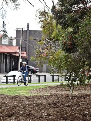
Adelaide’s a good city for riding. Many of the main highways have parallel routes a cyclist can choose, and many have reasonable bike lanes, as well. There’s a multiplicity of options that are not available for cars. So each night, when I set off on the 30km home, I get to choose which way to go. For the cost of a couple of kilometres, I can take a different way home each night!
I go with an eye to the wind—some routes are more exposed. Or maybe I’m leaving late; a couple of ways home are much faster because of the long unbroken sections; others are slower creek-bed bike paths that are blessedly quiet. Some are a bit too lonely to feel safe after dark, others are just enough un-trafficked to let me think, or to let the day’s stress or pain slide off.
There are days when I simply need to ride… and ride. That takes longer; the Linear Park and Halls Road are a good choice then or, perhaps, Bolivar and the Little Para Park. Other times with a smidgin of south wind, I choose to sprint home on the shortest route, Main North Road, which could do with a bit more bike path. But what a blast— sometimes the rush and noise of a main road is wildly invigorating. There’s a crazy enjoyment when you can pace a vehicle from Norwood to Grand Junction Road, or sit on the wheel of a carbon racer up past Parafield, and make some young fellow who though he’d passed you at Pooraka really hurt!

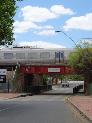
Rides seem to come and go. They get into my system for a while, and then I move to another one. Recently I’ve taken a couple of back streets up from the church, and hit South Road at the top of the Westside Bike Path, for my Wednesday’s ride home. I scoot down James Congdon Drive and Port Road past the Entertainment Centre—that’s fast, then go right at Chief Street, and follow it through to Torrens Road. Then a left-right dog leg puts me onto Napier Street with a left into Exeter Terrace—that’s the west side of the Gawler train line up past the cemetery. There are speed humps here, but it’s quiet and empty. At Pym Street, I’ve been turning across to Churchill Road, which is flat, busy, and noisy, but always has room for bikes. (Sometimes, on winter’s nights, I keep heading up on the west side, through the parks, and in the empty dark of Naweena Road. Or take a right turn at Torrens Road and ride the east side of the railway line. That has less speed humps, and I can ride round the edge of many of them.)

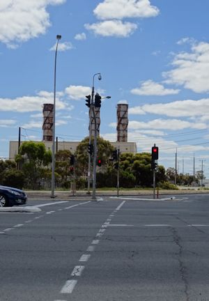
At Grand Junction Road, there’s one of those raceway starts on a bend, that mean you have to own the road with determination as you leave the lights, or… I can just roll left across to the pedestrian ramp, and take a narrow little bike pad into the dead end street by the emergency power station—appropriately named Rumble Road. Then I have a fast ride down Churchill Road North, cross Highway One onto Cross Keys Road, and take the footpath into Mawson Lakes. Churchill Road North can be very busy, but the traffic is pushbike aware and friendly. There are times when it’s barely moving, and you get to ride the whole 11/2 km down the left hand side of stationary trucks and cars!
Mawson Lakes is a gentle roll of paths, streets, and bridges, through to the railway station—I rarely have to stop-- and then it’s the not-quite-cobble-stones of the Parafield Bike Path. On a winter’s night the damp air drains down the floodway alongside the airfield and it’s cold! And “proper dark.”
Cross Keys Road is one of the more interesting roads in Adelaide’s north. It starts at the Cross Keys Hotel, where I meet it, disappears at the Mawson Lakes fence, and pops up again about 4 kilometres later, after the airport! It takes me up to Fenton Road—I sometimes turn off here for my LBS—and down into the Little Para Linear Park. Then it’s a short ride home. It’s an hour and a half, or less.

