Angaston Willunga on the Bike Paths
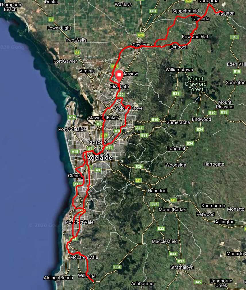
I often tell people you can ride from Angaston to Willunga, and do it on bike paths and back streets. I've wondered about doing it as a full loop in the one day, and here it is. (Click the map for a larger image.)
Google will take you from Angaston to Willunga through the hills; 121km, or you can take the highways and expressways through the city. That's 133km. By bike and bike path, it's about 150km.
The possible routes are endless. I took a fairly direct route from Elizabeth to Willunga, and then had fun linking together a whole heap of paths on the way back to Angaston. From Angaston, I took the quickest way home if I stayed on the path. It resulted in 330km all up.
I cheated by taking the kilometre of bike path painted on Main North Road between Mawson Lakes and Pooraka, but that can easily be avoided by crossing Main North Road and meandering through Pooraka to rejoin the Levels Bike Route at Pooraka Primary School. (May 2021: You can also use the Main North Road Tunnel.) Otherwise, the route consists of separated paths, back street, the occasional secondary road, and a few quiet country roads— especially since it was close to midnight!
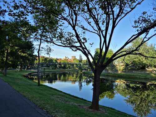
The Linear Park
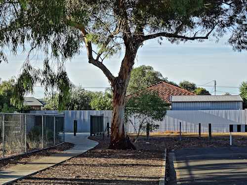
Crossing Keswick Creek. Adelaide is full of gems like this for avoiding traffic
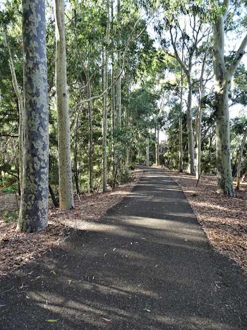
Sturt Creek Linear Park
There's not much to write about routes here. The easiest way to see the riches we have on offer for navigating Adelaide is to zoom in on RidewithGPS, with the link below. I have a screen shot of the route below. You can see I've headed through Elizabeth both ways. That was to drop in home and feed our little white dog!
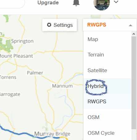
Use the Hybrid drop down setting for a better map at https://ridewithgps.com/trips/45481714 The link will take you to ridewithgps.com and let you see the map, and export it too.
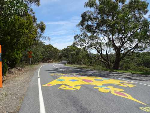
It's now 3.30pm, and the little white dog has slept through breakfast and lunch! This sort of exhaustion occurs if we have guests for the afternoon and evening. Or if Barry across the road is doing lots of work in the street! You have to stay alert!
But yesterday was different. Wendy is at Womadelaide, and I left at 6am for a long loop down to Willunga and back up to Angaston using the bike path network we have in Adelaide. I received a rapturous welcome from the dog at tea time, when I dropped in for a few minutes before heading north on the Angaston part of the journey. At 4.30am, as I turned everything off in the front yard, the light on my helmet showed a little white dog observing me between the curtains from the lounge room. She had been on watch the whole time!
Riding under the King William Street Bridge, I saw two rough sleepers. In between them was a wheel chair. It's a terrible country in which to be poor. If we could not afford to pay for the Aged Care Broker who is helping us with a family member, I don't know how we'd make sense of anything. How can sick people navigate our "support systems."
A happier experience was to see the large number of families and kids riding and walking the bike trails across the city. I met two young girls about half way between McLaren Vale and Seaford. Here's an eye-opener. The anglo girl was riding a bike, and making hard going of the climb at the point where I met them. Her Sudanese companion, also about twelve, was running. And helping push her up the hill!
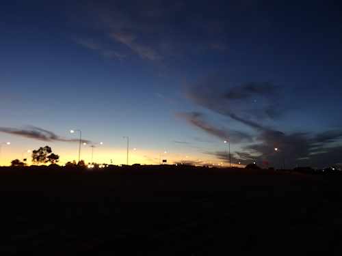
Curtis Road on the Stuart O'Grady Bike Path
This is my second very slow long ride recently. I'm not sure how much the heavy touring tyres (Marathon Tour Plus) are contributing, and how much I've not yet recovered from a bout of illness. Or, I could just be getting too damn old!
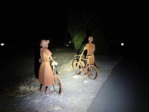
These two loomed up out of the dark at the beginning of the Nuriootpa - Angaston rail trail. The lighting is my Cateye Volt1700. This had been flashing all day and then run on low (200 Lumen) after dark. It easily runs for 24 hours like this. In fact, the 50% used amber warning came on just as I arrived home after 22.5 hours.
[This file is also posted under Routes and Rides]
